-40%
1918 Meuse-Argonne Offensive Officers Map 1st 2nd Last Phases US Army WW1 29x32
$ 184.8
- Description
- Size Guide
Description
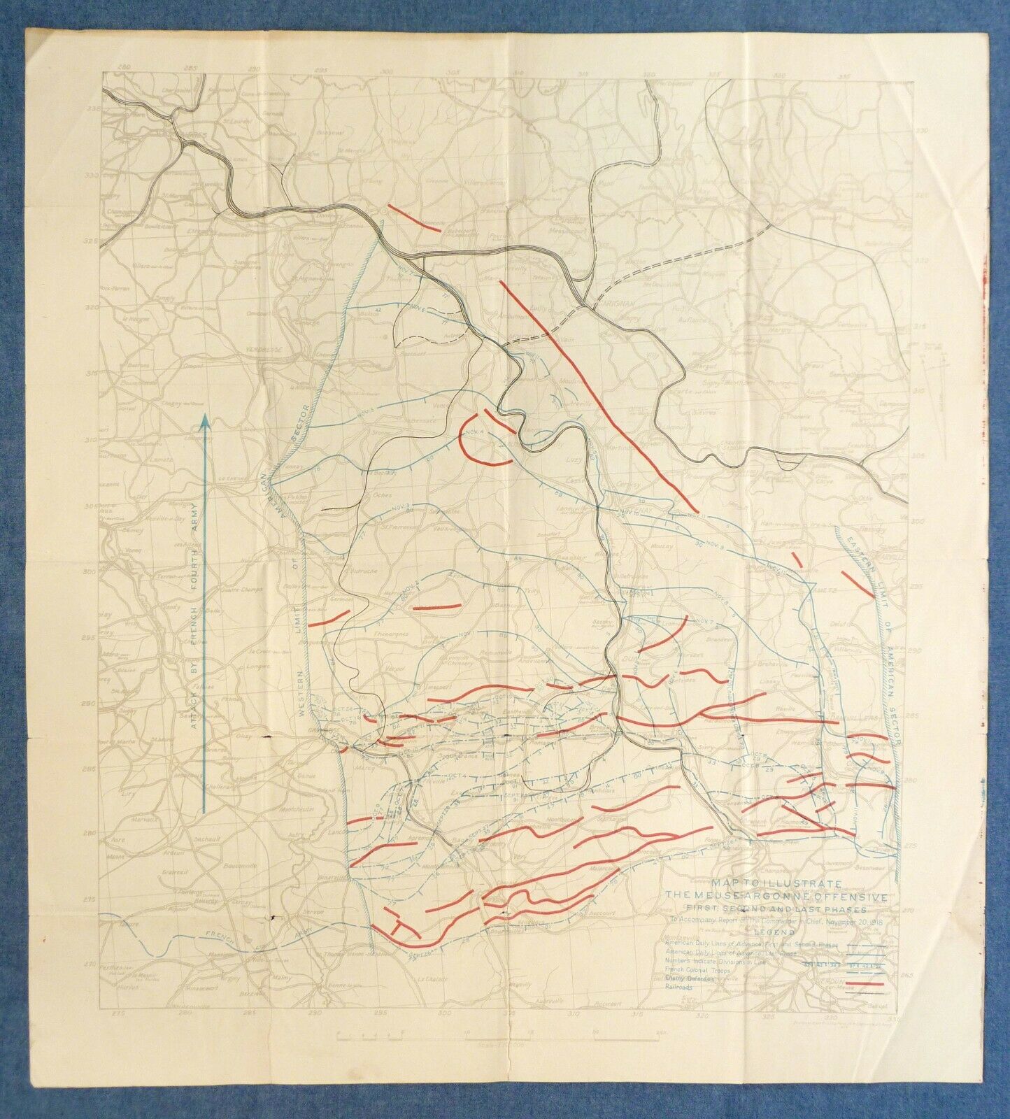
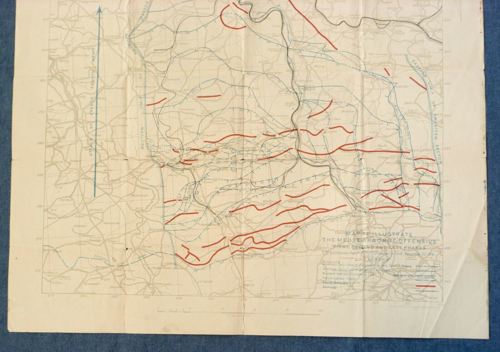
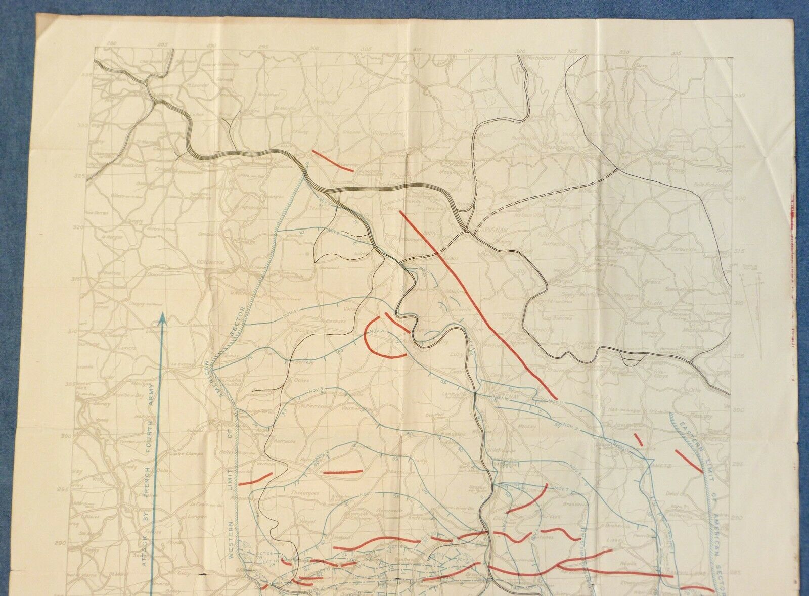
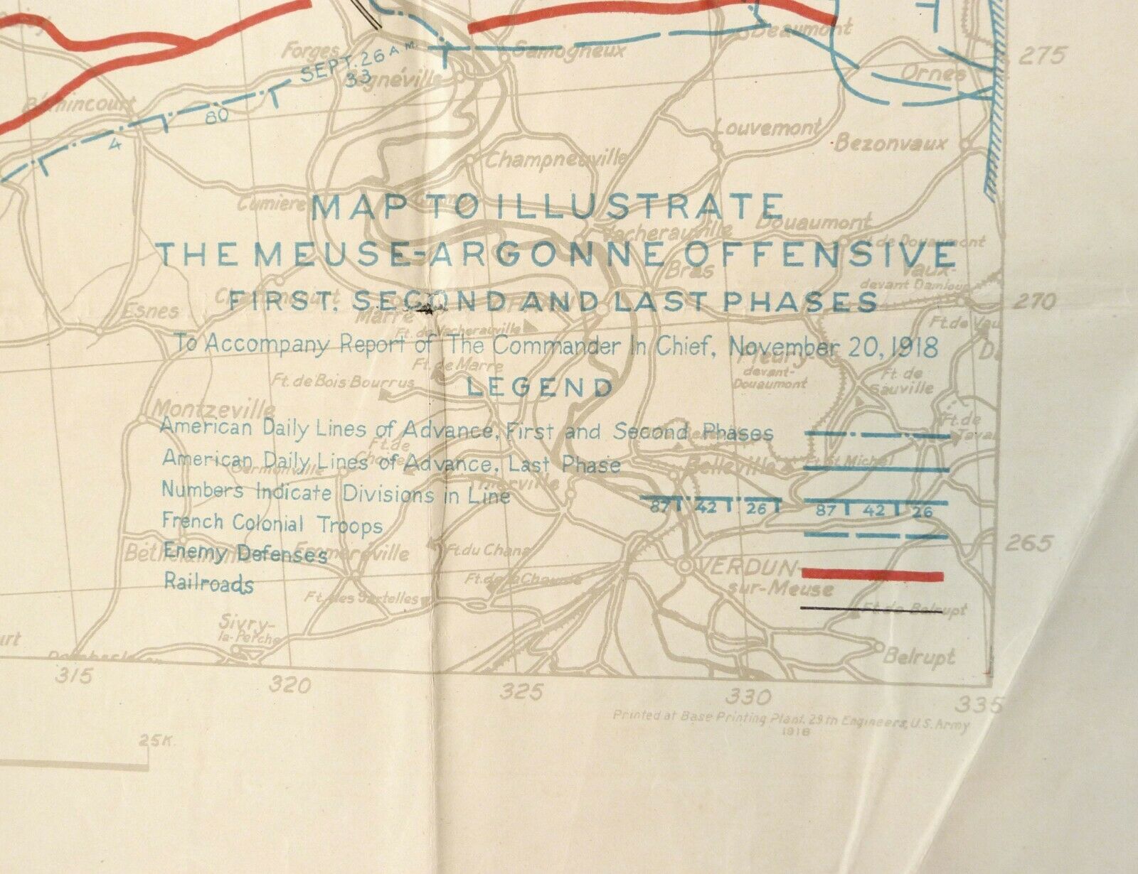
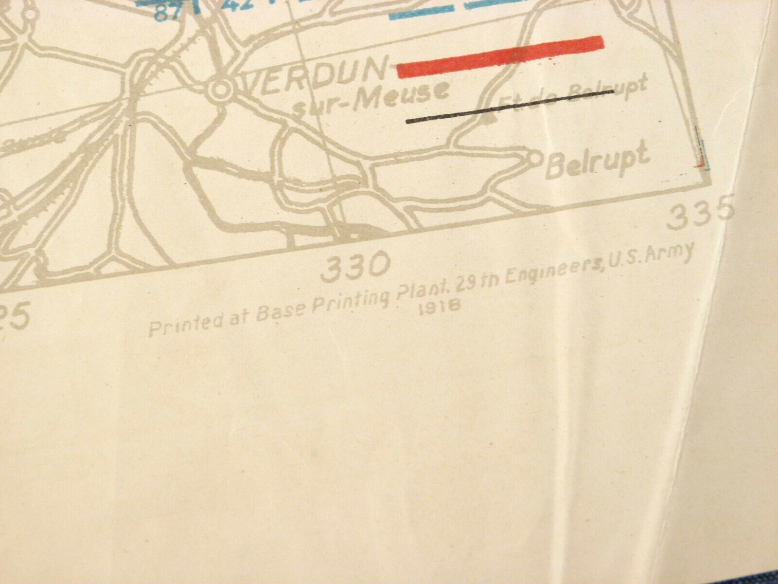
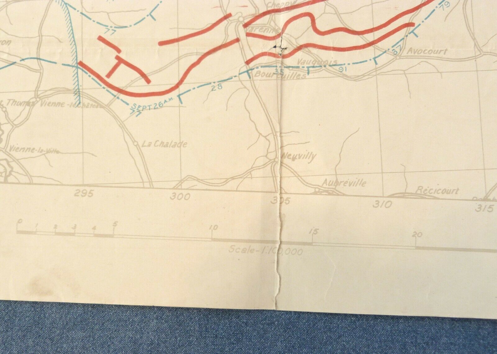
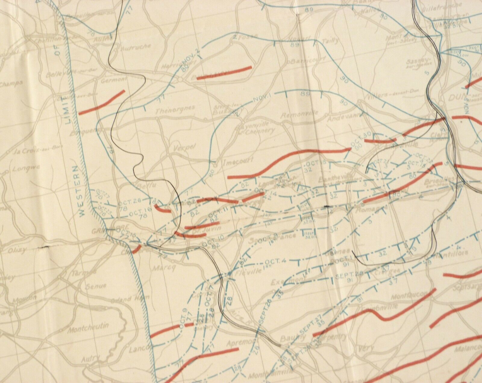
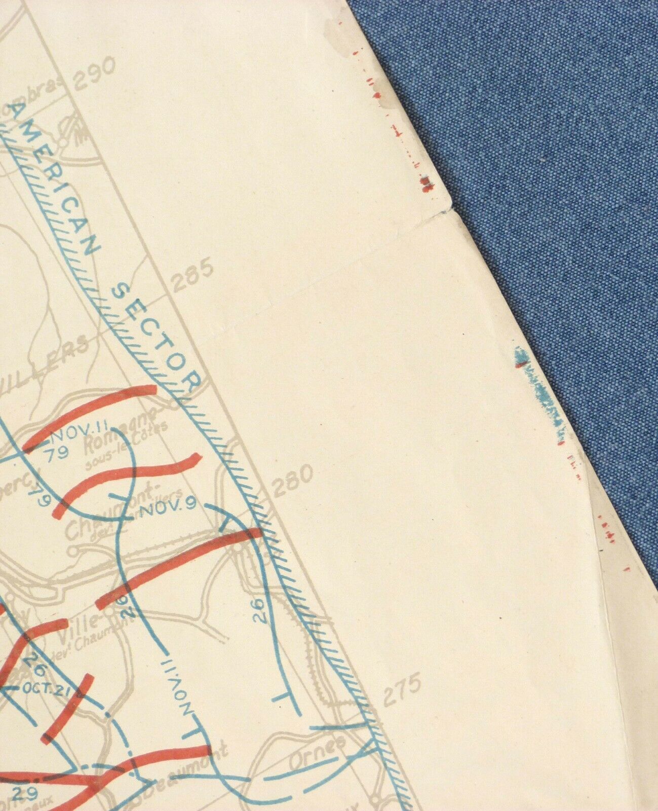
Original World War I map:"Map to Illustrate the Meuse-Argonne Offensive, First, Second and Last Phases, to Accompany Report of the Commander In Chief, November 20, 1918", U. S. Army officers' map
From the National Archives Museum:
The Meuse-Argonne Offensive was the largest operation of the American Expeditionary Forces during World War I and the deadliest military campaign in American history. Fought from September 26 – November 11, 1918, by over a million American soldiers, the Meuse-Argonne operation was part of the final Allied offensive that brought an end to World War I. In commemoration of the 100th Anniversary of the Meuse-Argonne Offensive, a map illustrating American advances during the campaign was on display at National Archives Museum in the fall of 2018.
From Premiere Relics:
This original World War I map was printed at the base printing plant of the 29th engineers, US Army and is dated 1918. The map illustrates in blue the lines of American daily advances of not only the first, but also the second and last stages of the Argonne offensive. The map also indicates the numbers of divisions in line, as well as French colonial troops and enemy defenses. This map was constructed using observations from biplanes that flew overhead, as well as reports from officers in the frontline. This kind of map would've been used in the war room to plan advances, as well as troop movements on the Meuse-Argonne front.
Meuse–Argonne Offensive:
The Meuse–Argonne offensive (also known as the Meuse River–Argonne Forest offensive,[6] the Battles of the Meuse–Argonne, and the Meuse–Argonne campaign) was a major part of the final Allied offensive of World War I that stretched along the entire Western Front. It was fought from September 26, 1918, until the Armistice of November 11, 1918, a total of 47 days. The Meuse–Argonne offensive was the largest in United States military history, involving 1.2 million American soldiers. It is the second deadliest battle in American history, resulting in over 350,000 casualties including 28,000 German lives, 26,277 American lives and an unknown number of French lives. U.S. losses were worsened by the inexperience of many of the troops, the tactics used during the early phases of the operation and the widespread onset of the global influenza outbreak called the "Spanish Flu".Meuse–Argonne was the principal engagement of the American Expeditionary Force (AEF) during World War I. It was one of a series of Allied attacks known as the Hundred Days Offensive, which brought the war to an end. It was the largest and bloodiest operation of World War I for the AEF even if, given the scale of other battles on the Western Front, its size was limited and the operation itself secondary as it was far from the main offensive axis.
Data:
29" x 32", red-and-blue military overprint on gray-and-white base
Condition:
excellent clean example, some discoloration/tanning on back side, several tears expertly repaired with archival materials (Neschen Filmoplast P Tape), map flattened but will show original folds and later creases, will ship partially folded or rolled
Origin:
printed at Base Printing Plant, 29th Engineers, U. S. Army, 1918, identical maps are in the collections of the Library of Congress and the National Archives
Every Item sold is carefully packed for safe shipping. International buyers welcome.
